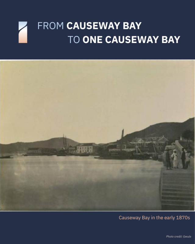
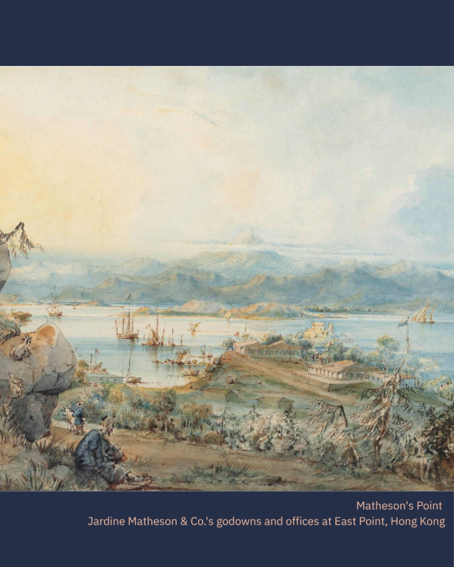
What’s in a name? The Causeway that names this district was a raised embanked road built across the low lying mudflat towards North Point in the 1850s. As one of the first developed areas in Hong Kong, it served as a critical conduit between Central’s businesses and housing and the godowns and wharfs on the East of the Bay.
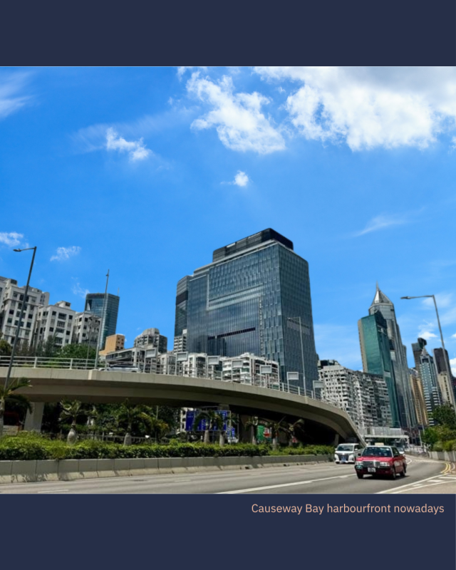
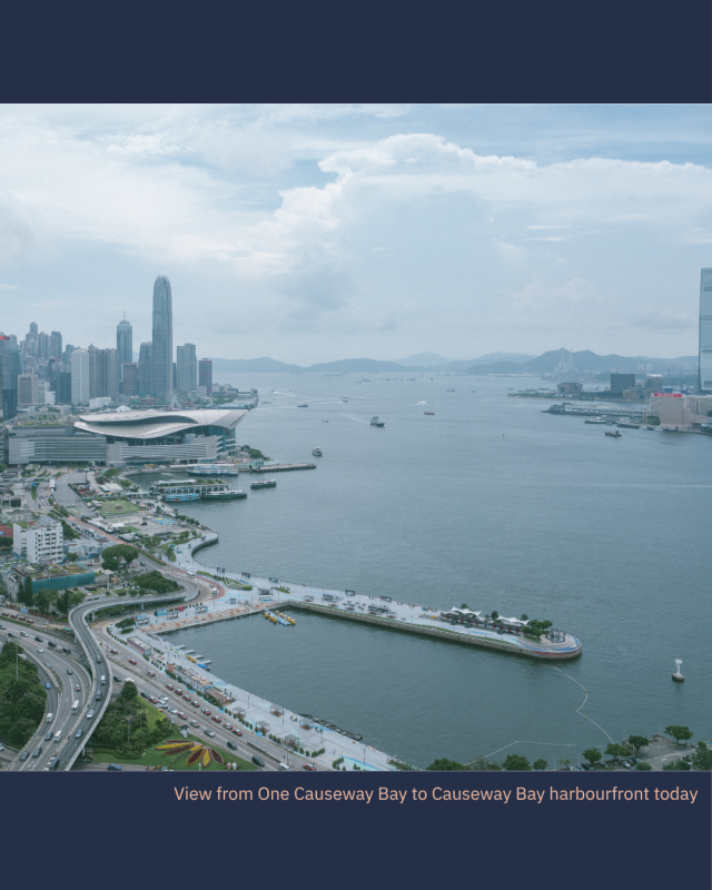
Today, it remains a transport link and gateway to the city. Gloucester Road now runs over the original Causeway, and One Causeway Bay overlooks the harbourfront with direct access to the main transport artery below and the rest of Hong Kong.